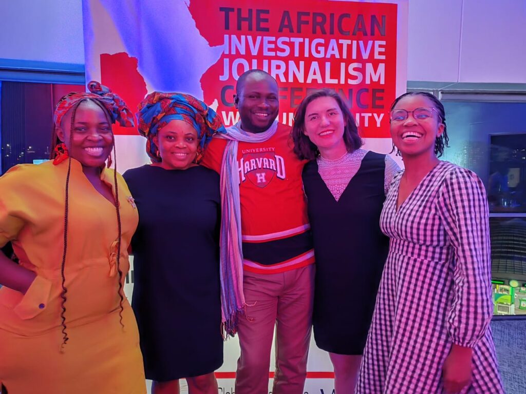
Discover the future of journalism with the help of John Eromosele’s observations from AIJC. Learn about tools that are changing storytelling, such as NASA’s Mapping Tool, Whova App, and Sentinel Satellite Imagery.
John Eromosele, the Business Development and Operations Lead at Orodata Science, one of Africa Data Hub’s important partners, was interviewed by Michelle, the Lead Communications Officer for Open Cities Lab. John is an accomplished civic technologist with nearly ten years of experience in both civic tech and journalism. In November 2023, he was a session leader and attendee of the African Investigative Journalism Conference (AIJC). In this interview, John discusses his observations on three innovative tools that he came across during the conference and that have the potential to completely alter the way that journalists approach reporting and narrative.
Michelle (M): John, first up, can you tell us why attending conferences like AIJC is worthwhile for journalists?
John (J): Absolutely. AIJC offers a unique networking opportunity as it is one of the biggest conferences for civic technologists and professional journalists in Africa. After almost a decade in the journalism field, I considered the conference to be a unique chance to network with like-minded individuals and obtain a localised understanding of the events occurring throughout the continent. Breaking down silos between organisations and regions, collaborating, and showcasing our work are all opportunities presented by this conference, which goes beyond simply learning best practices.
M: That sounds fascinating. Now, let’s dive into the tools you discovered. The Sentinel Satellite Imagery Tool – what caught your attention?
J: The Sentinel Satellite Imagery Tool is remarkable. Although I had heard of it, seeing it put into practice at AIJC changed my perspective. Visual storytelling gains new dimensions with real-time access to high-quality satellite imagery. The platform makes it simple to explore, visualise, and analyse Sentinel, Landsat, and other Earth observation imagery, giving your stories a deeper, more engaging quality. I urge you to give it a shot!
M: Moving on to the Whova App – what made it stand out for you?
J: The Whova App scared me off at first, but AIJC forced me to give it a shot, and I’m glad I did. The AIJC conference provided an eye-opening opportunity to experience the usability of the app that was selected to oversee and interact with the entire event. Real-time connections between participants, speakers, and attendees were made easy by the app. The conference’s reach was increased, increasing its inclusivity and accessibility. By fusing digital and in-person interactions, Whova completely changed the way I perceive events to be run. Effective networking, real-time communication, and even tracking of the most attended events—like my session, which ended up being one of the highlights of AIJC—were made possible by the app.
M: Impressive! And the third tool, NASA’s Mapping Tool for Fire Tracking – how do you see this impacting journalism?
J: The NASA Mapping Tool for Fire Tracking is a gem. Historical map data is provided, which is typically difficult to find. Access to trustworthy and free information is crucial for journalists covering fires around the world, as I have discovered in my work as a trainer. It helps us create more powerful narratives by enabling us to analyse trends over time. Without a doubt, this tool will become a mainstay in my training sessions.
John’s observations about these three tools help us understand how technology can revolutionise journalism. A new era of connected, collaborative, and informed journalism is being ushered in by these tools, which range from using satellite imagery to improve visual storytelling to using apps like Whova to revolutionise conference engagement and using NASA’s mapping tool for comprehensive storytelling.
Originally published on Africa Data Hub.

